

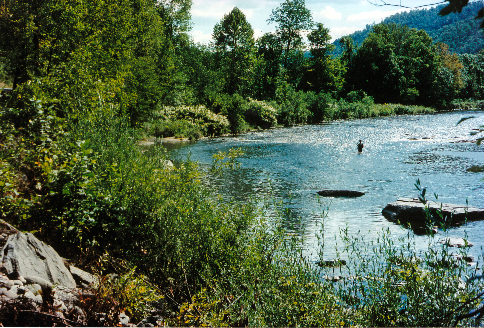
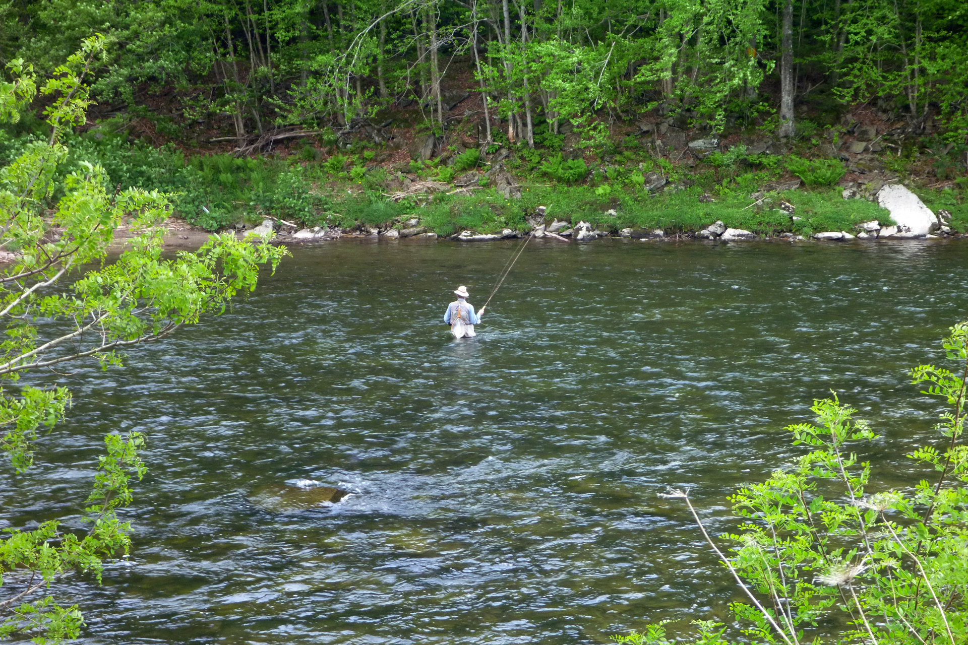
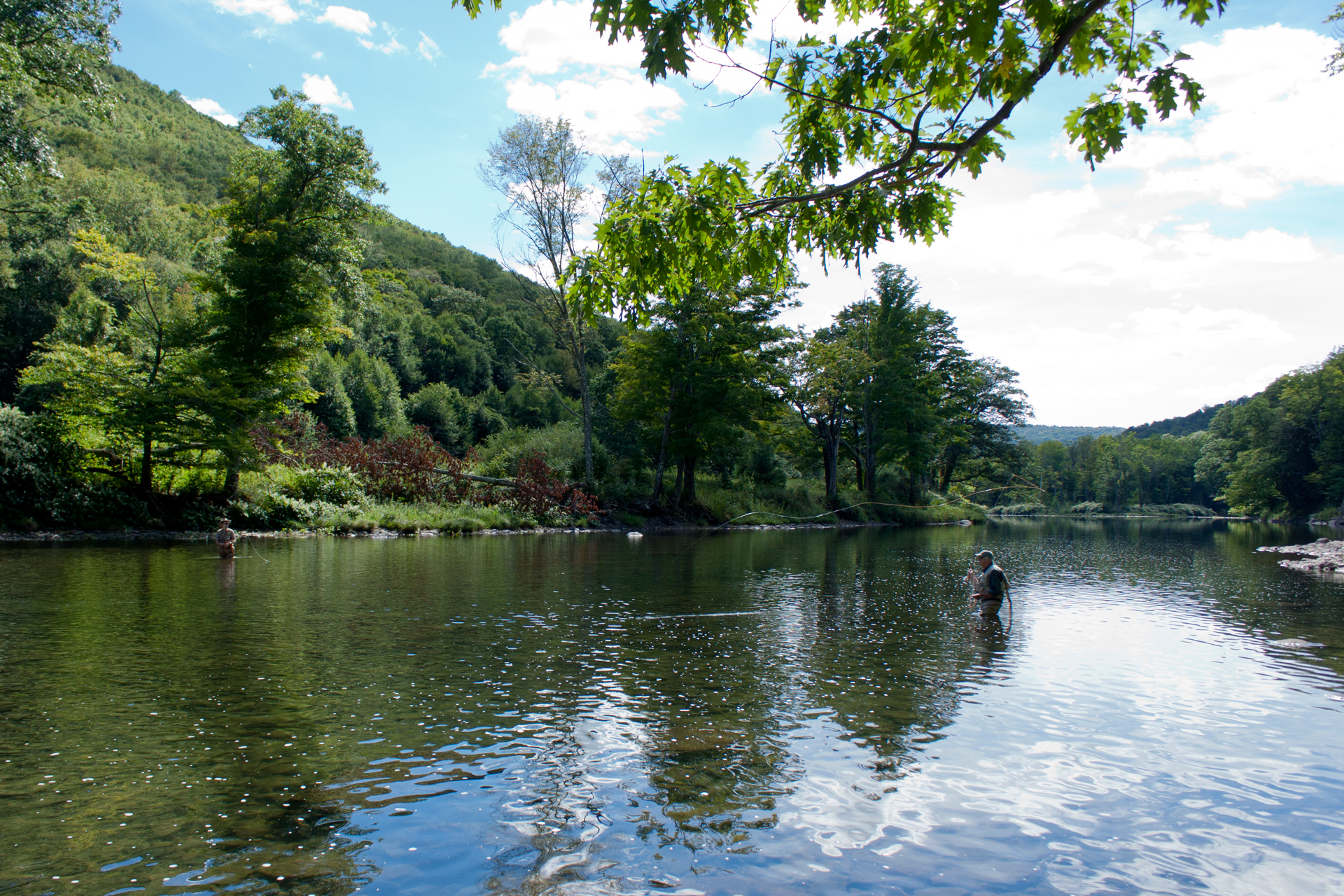
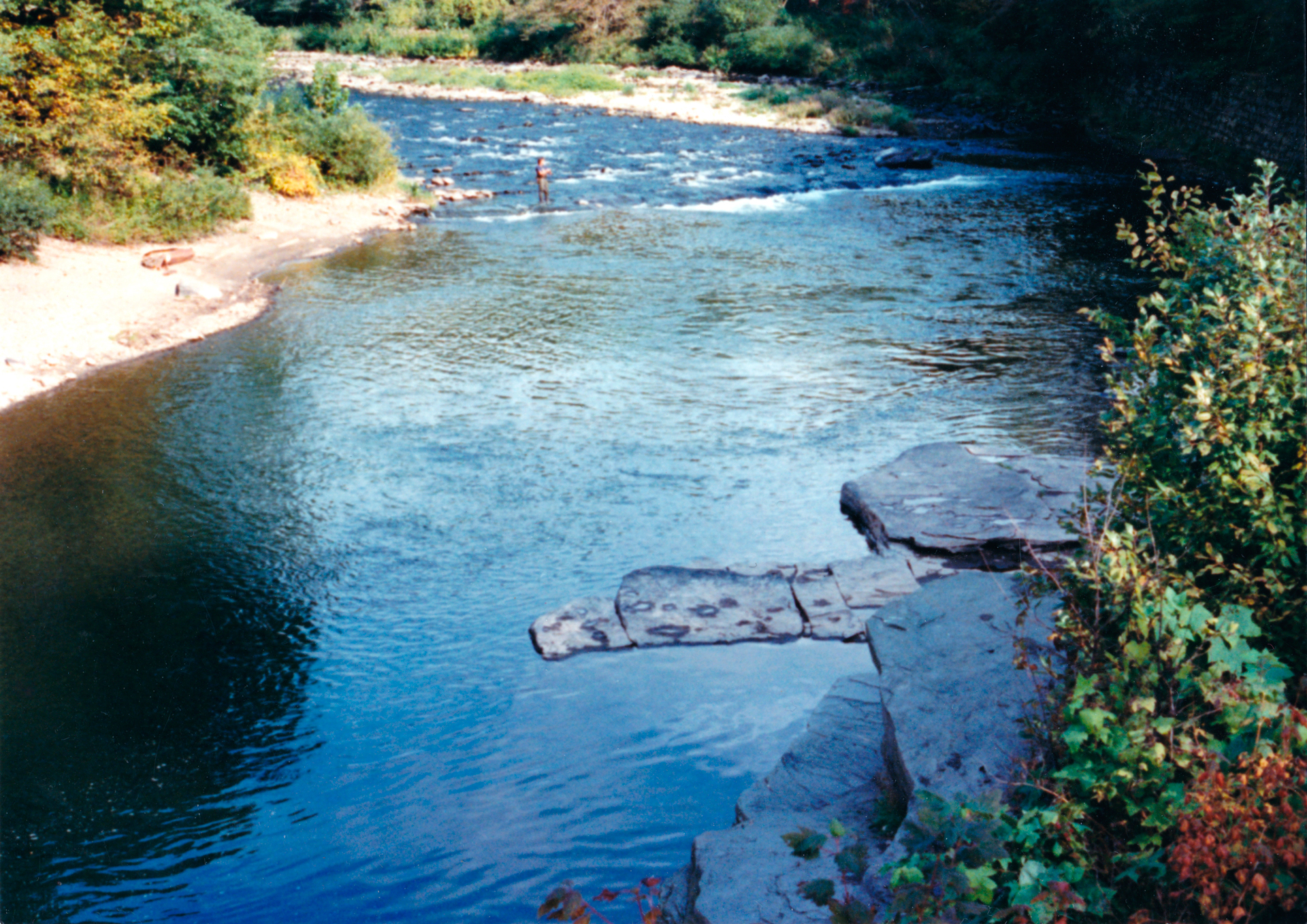
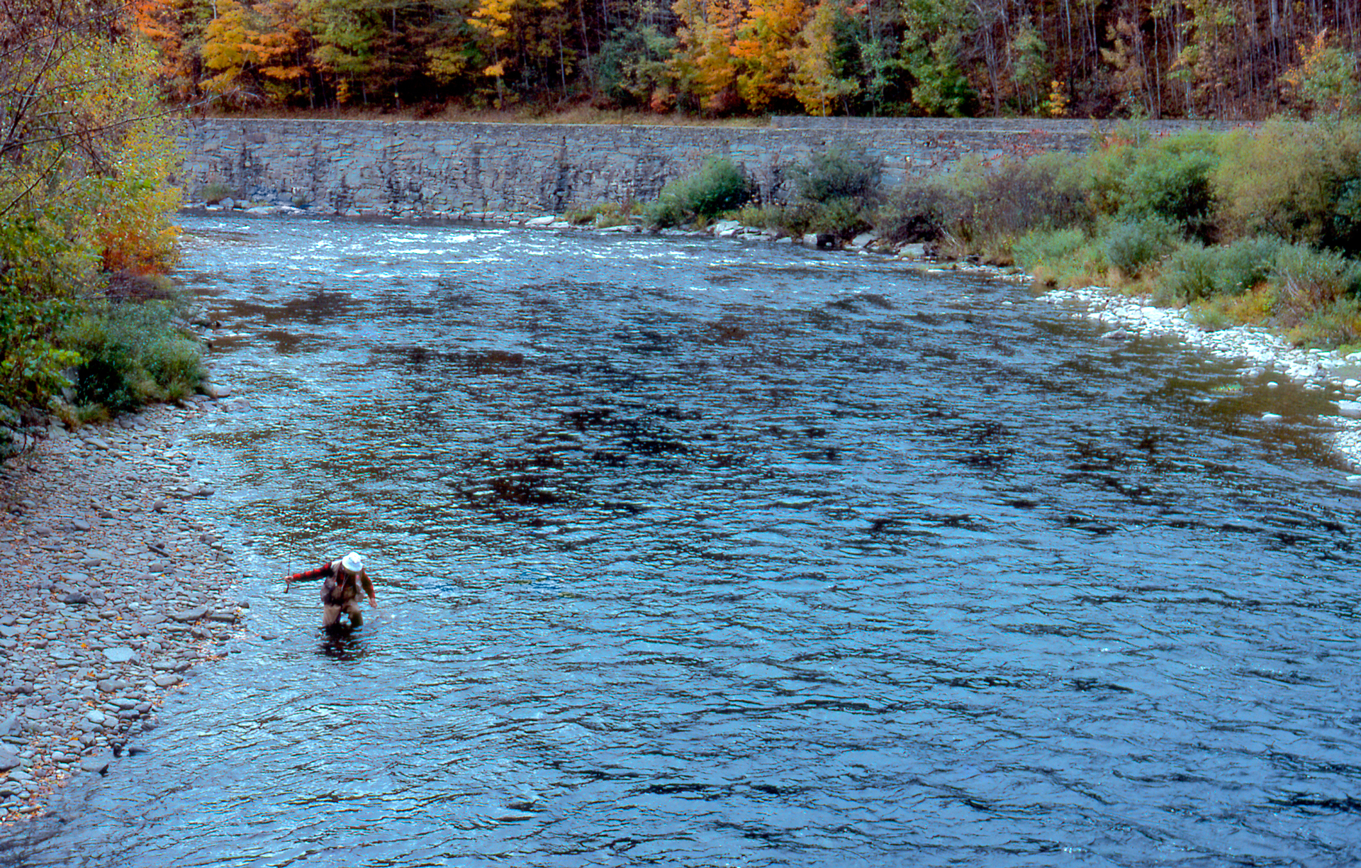
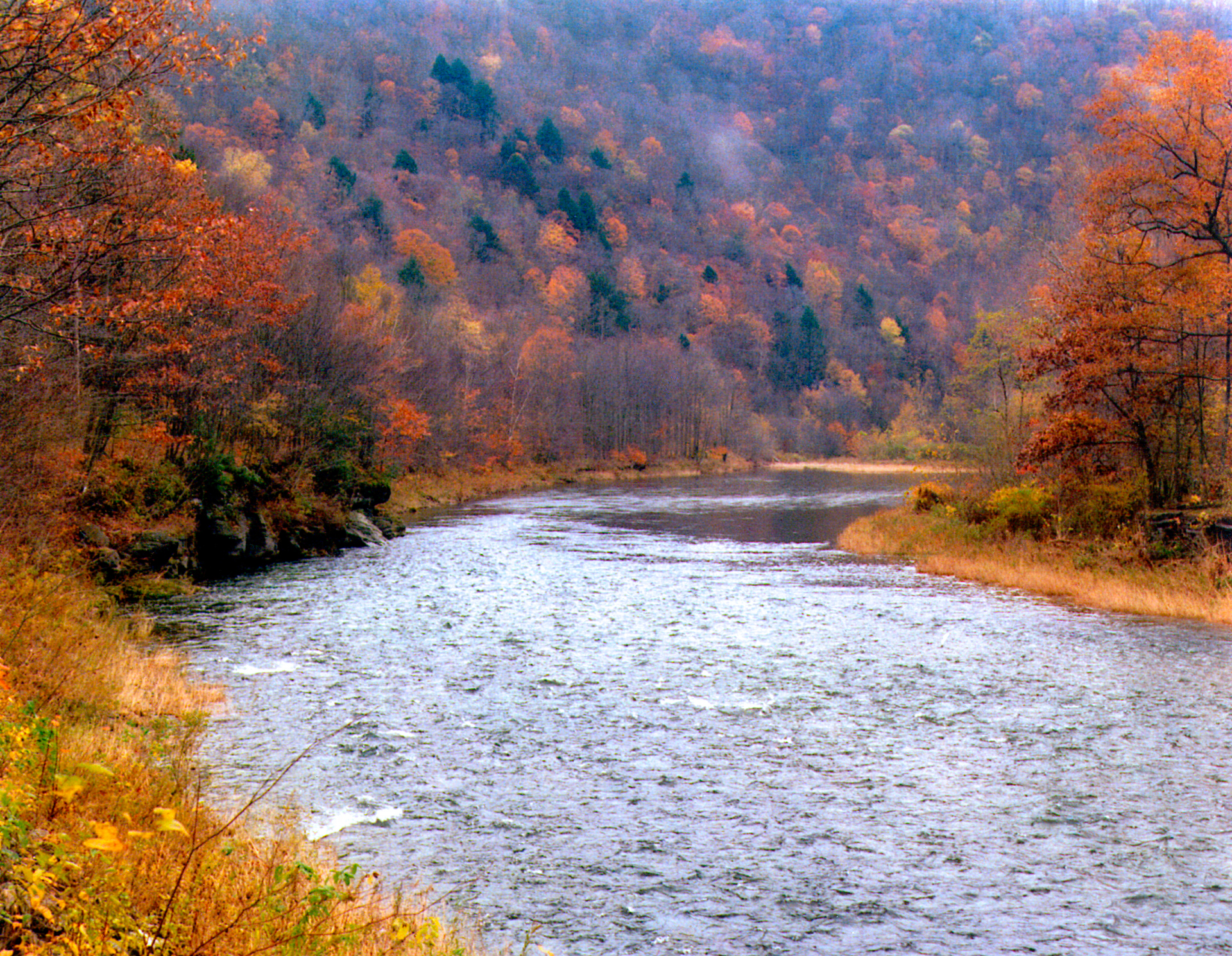
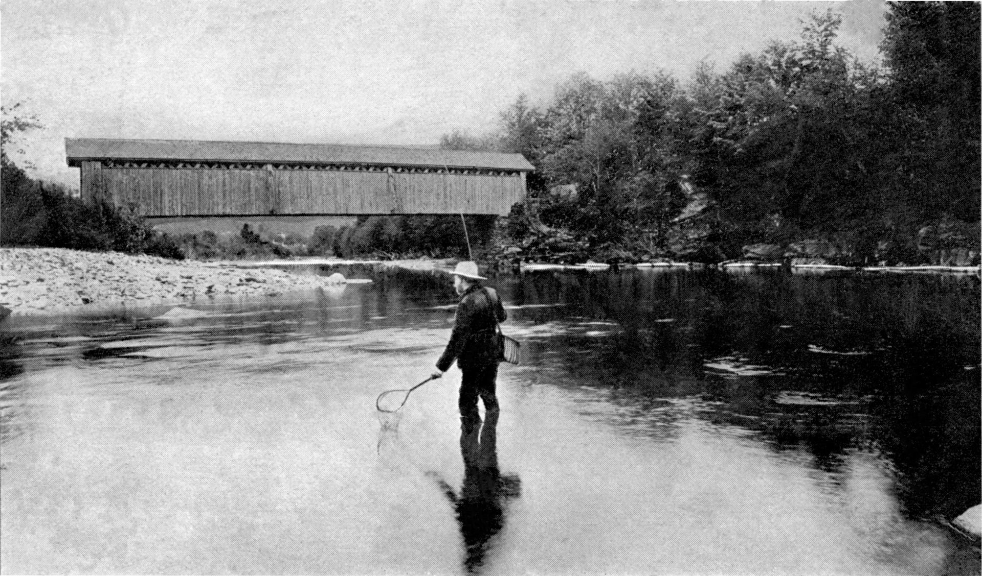
The Beaverkill (aka Beaver Kill) is the cradle of American fly fishing, and for many anglers it is the standard by which all other trout streams are judged. For centuries, anglers have made pilgrimages to this renowned Catskills river, casting local flies like the Hairwing Royal Coachman and the Gray Wulff into its cold, clean waters.
The river contains classic dry-fly water, with all the major surface-riding mayfly hatches, large and deep pools, lengthy riffles, and plenty of room to back cast. It has a long tradition of attracting some of the earliest and most prominent fly fishers, including writers, who chronicled the stream's history and spread its fame; artists from the Hudson River School who attempted to capture its beauty; and environmentalists, who pioneered conservation techniques that are now used to preserve trout streams around the world. Since the earliest days of American fly fishing, anglers have had a close relationship with the Beaverkill, visiting storied pools such as Barnhart's, Cairns, and Hendrickson's—just as their fly-fishing forebears did.
Much of the Beaverkill is fishable by the public, thanks to Public Fishing Rights managed by the New York State Department of Environmental Conservation (NYSDEC). Permanent easements purchased by the NYSDEC from willing landowners gives anglers the right to fish and walk along the bank (usually a 33’ strip on one or both banks of the stream). For more information about this program including maps of where you can fish the Beaverkill (with a valid fishing license, of course), download or print out this map of Public Fishing Rights on the Beaverkill published by the NYSDEC—a great resource for anyone looking to fish the Beaverkill.

Current Conditions and Fishing Reports
Daily and historical flow information and more can be found at the Beaverkill Cooks Falls, NY USGS site here.


Pools & Eddies of the Beaverkill
Coming soon - Maps of the pools of the Beaverkill.
Cemetery Pool
Horton Bridge Pool
Acid Factory Pool
Barrel Pool
Chiloway Pool
Whirling Eddy
Pork Eddy
Covered Bridge Pool
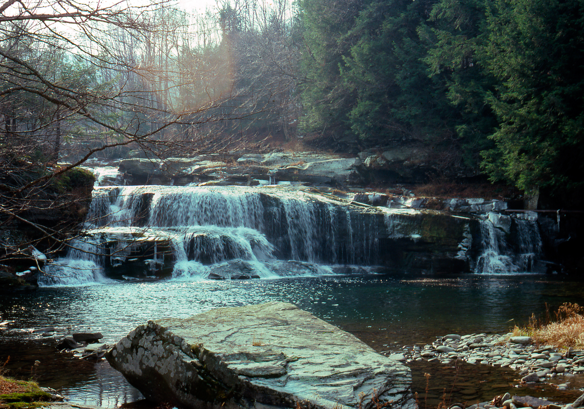
Beaverkill Falls
Willich Pool
The Forks (Junction Pool)
Ferdon's Eddy
Barnhart's Pool
Hendrickson's Pool
Cairns Pool
Wagon Tracks
Schoolhouse Pool
Rubbing Mill Pool (Red Rose Pool)
Mountain & Lower Mountain Pool
Painter's Bend
Cooks Falls Pool

Hatching Chart
The following is a hatch chart of major mayfly hatches and their imitations for use when fishing the Beaverkill River. It is free to download or print for use when fly-fishing. Fishermen interested in matching the hatch while exploring the rivers of the Catskills will find it useful.

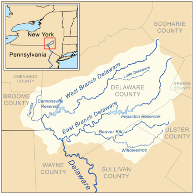
Geography of the Beaverkill River
Elevation at Source: 2,760 ft (841 m)
Coordinates at Source: 42°1′47″N 74°32′32″W
Mouth: East Branch, Delaware River
Elevation at Mouth: 980 ft (299 m)
Coordinates at Mouth: 41°59′24″N 74°7′52″W
Length: 44 mi (71 km), NE-SW
Basin: 300 sq mi (777 km2)
Discharge (avg): 771 cu ft/s (22 m3/s)
Discharge (max): 62,400 cu ft/s (1,767 m3/s)
Fly Fishing the Catskills - NYSDEC Pamphlet
This pamphlet on fly fishing the Catskills was released by the New York State Department of Environmental Conservation in 2014, and contains invaluable information and history on the extensive trout fishery, with text provided by Ed Van Put.
